 |
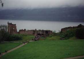
Of course no description of Scotland would be complete without at least a gratuitous reference to Loch Ness. So here is a picture of Castle Urquhart on the shore of Loch Ness. Didn't see the Loch Ness monster but we did see the Loch Ness swan. The main road with all of the tourist traps lies on the north side of the Loch, but the little single track road on the south side was for my money more spectacular. |
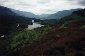 |
Glen Affric is located just north of Loch Ness, a couple of hours from Cromarty. By all accounts this is one of the more beautiful places in Scotland and I can't say that I disagree. We visited one Sunday and did a few short tourist walks. The view on the left is looking east through Glen Affric from a slight ridge just north of the car park at the end of the road. Carol & Akilah are in the picture at the right. | 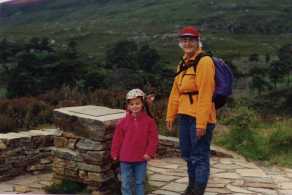 |
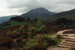 |
The picture on the left is another picture in Glen Affric, just to the right of the one above. Akilah is in the picture on the right. | 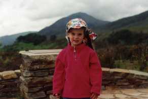 |
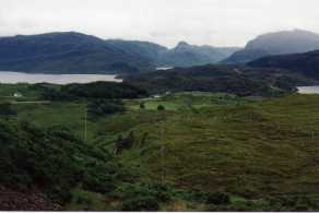
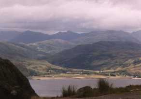
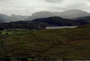 We toured the NorthWest Highlands in their usual heavy cloud cover and rain.
As I gather, sometime in the last two hundred years, most of the trees were cut,
either for fuel for iron making, timber for ships, or simply to clear the land for
sheep grazing. At this point there are so many wild deer (no natural predators) and
sheep (absolutely everywhere), that the trees cannot grow back. The result is a very
open landscape. The terrain is also very spongy (it reminds me a lot of Newfoundland,
which geologically is in fact part of Scotland, despite a minor ocean between them).
Because of the open landscape, there are few trails - it is easy to see where you are
going and just walk. Complimenting this is Scotland's "right to roam" which says
(if I understand it) that a walker can travel anywhere and landowners must allow
free passage.
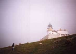
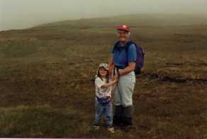 We did one 4 mile hike to see the Old Man of Stoer, a 200' rock column a few yards off
the coast. At low tide you can apparently walk the few yards across to it. We started
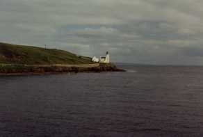
at the Stoer lighthouse (left) in the fog and were in heavy fog the entire time. When
we got to the Old Man, we could barely see it through the heavy fog. Akilah did great,
walking the entire 4 miles herself. However, when we complimented her she thought it
was no big deal since she had done four miles a few times last year in the Tetons.
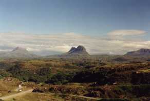
 The most depressing part of the hike was after lurching about in the coastal fog all
day, we went in land and found one of the few beautiful days I've seen in Scotland.
The picture at left is Canisp and Suilven near Lochinver. These are about 3000' but
rising up directly from sea level with very steep slopes. The geology of the area is
pre-Cambrian basement rocks of basalt and granite, while the mountains are Cambrian
era Torridon sandstones. Most of the over-layers have been scoured away by ice sheets.
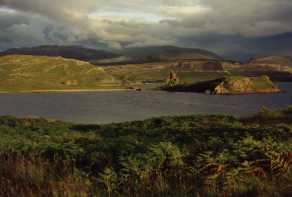
The picture on the right is the remains of Ardvreck Castle near Kylesku - a truly
spectacular setting!
While I must admit the weather was terrible (no sunny days during a two week June visit, 1 sunny day during the two week July visit, and one week during the 4 week September visit), everyone says this is the worst year on record since they kept records beginning in 1867.
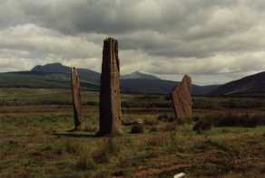
 After getting rained out in the NW highlands we decided to try our luck on the
Island of Arran just off the west coast from Glasgow. It was spectacular (one of
the few clear days I have seen in Scotland). The mountains were pretty and we visited
a number of stone circles dating to around 3-4000 BC (left).
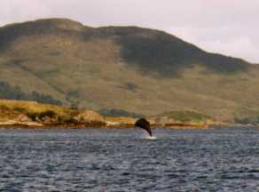 While I was home in the states a pod of bottlenose whales, which are normally deep
ocean inhabitants (feeding on squid deep in the Atlantic) visited a shallow bay off
the Isle of Skye. So Carol, Akilah, & the rest of the lighthouse crew packed up
and drove over to see them. We visited again for a weekend during my September visit
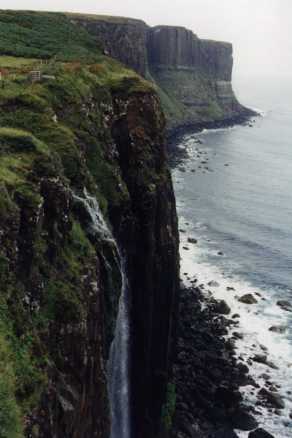
and got to see a bit more of the Island. The waterfall is on the northern coast of
the Isle.
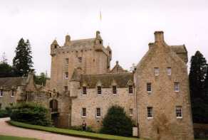
 On another weekend, Carol & Akilah stopped and visited Cawdor Castle, near Inverness.
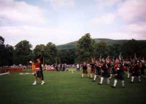
They also got to enjoy a bagpipe band. The Scots really love the pipes (and I must
admit so do I - could listen to them all day). They took the picture of the bagpipers
at a Highland Games festival.
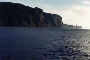
 The big event during my September visit was a trip to Orkney, a group of islands
just north of Scotland. We took a two hour ferry ride across the Pentland Firth
(dividing the Atlantic Ocean and the North Sea) to arrive in the town of Stromness.
Orkney is an amazing archeological treasure trove with the best preserved stone age
village (Skara Brae, 3000 BC) in Europe, lots of rings of standing stones, many remains
from the Picts (400-700 AD), plus a rich Viking heritage (700-1300 AD).
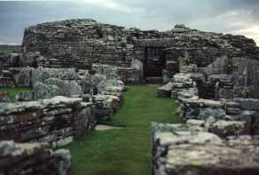
 The above right picture is the Brough of Gurness, a Pictish fort and village built
on top of an earlier stone age village. You are looking at the round "fort" from
the village wall, with houses on either side.
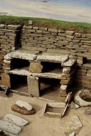
The jewel of the Archeological heritage is the stone age village of Skara Brae (left), which predates the great pyramids of Egypt. This very well preserved village was built partially below ground. A central underground pathway linked all of the houses. Each house consisted of a central room (shown) with small side chambers for sleeping and storage. In addition they all had the same "display case" or alter shown in the picture. As Carol said, "it looks like a college dorm bookshelve - milk crates and boards".
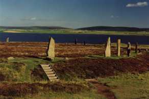
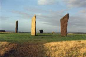
Roughly contemporary or slightly later are the Stones of Stenness and the Ring of Brodgar (right). The Stones of Stenness once contained 12 evenly spaced stones in a circle, only 4 remain. The larger Ring of Brodgar contains (I believe) 64 stones in a great circle. Not shown here, but also contemporary was Maes Howe, a pyramidal stone burial structure (covered with earth), and aligned so that on mid-winter day the sun shown down the entrance passage. Several thousand years later Vikings broke in through the roof and carved some interesting graffiti in Norse runes, more or less the equivalent of "Kilroy was here" and "Helga is a hot babe".
Return to the my Cromarty, Scotland page.
Return to my outdoor home page.