Don Diego Traffic Calming plan
On February 17, 2005, the final public meeting was held on the traffic calming plan for Don Diego. The plan shown
here (Plan 'A') was chosen for implementation.
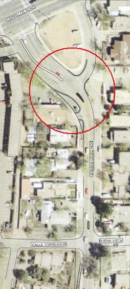
| 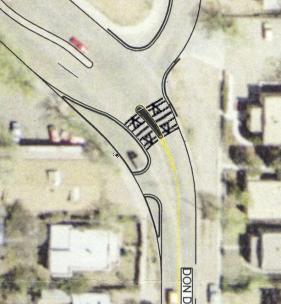 Just below Entrada Park, and above the straight section of Don Diego, the curb on the West side will be extended, and
a small traffic island will be placed in the such that the road is narrowed to one lane each. Also, a raised crossing
will be placed across this section (shown on the right)
| |
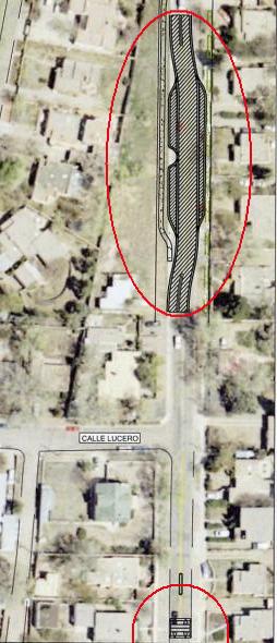
| In this section, there is enough right-of-way to put in a chicane, with a little diverter at either end. This makes Don Diego look less like s straight shot. The curves and widths are chosen for a natural speed of 25 mph. Also note that the sidewalk on the West side is now no longer right along the roadway. | |
| Near the intersection with Calle Lucero on the West side, and Adela on the East side another raised crosswalk will be built. This location is the highest point on Don Diego. | 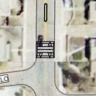
| |
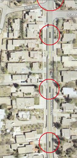
| In this section, there are so many driveways that a chicane is not possible, and there is not a major crossing that would justify a raised crosswalk. Also, the maximm number of vertical devices allowed by the emergency services is two. | |
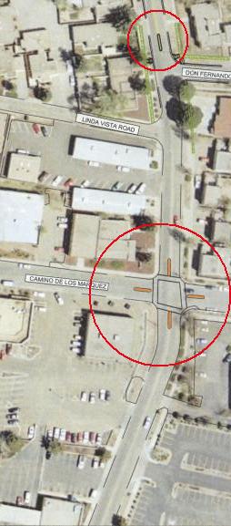
| Here, at the intersection with Camino de los Marquez, islands and (level) crosswalks will be built. This intersection sees the most pedestrian traffic of the whole project, and the islands will cut the crossing distance in half. The island will also provide a safe place for our newspaper man. | 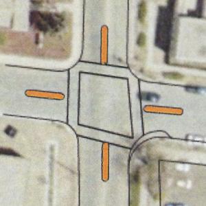
|
back